Community
Getting Around Ballarat: Roads, Public Transport and Connections
A general explainer on how people move around Ballarat and its region, from the Western Highway and city buses to the Ballarat Line rail link with Melbourne.
Community
A general explainer on how people move around Ballarat and its region, from the Western Highway and city buses to the Ballarat Line rail link with Melbourne.
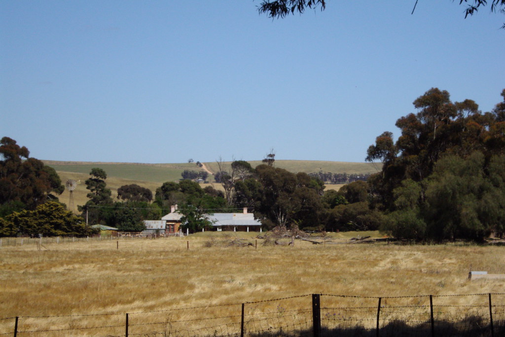
This is a general explainer about how people travel in and around Ballarat, not financial, business or travel advice, and the detailed figures, timetables and project timelines mentioned here change over time, so always check current sources before making decisions. Ballarat sits at a natural crossroads in Victoria's central west, roughly an hour and a bit by road from Melbourne, and that position has shaped its transport story since the gold rush. The city grew up around a grid of broad, formally laid streets, and wide thoroughfares such as Sturt Street, with its central median and gardens, remain a defining feature that gives the centre a generous, walkable character not found in many regional centres of similar size.
The road network is anchored by the Western Highway, the main route that links Ballarat eastward to Melbourne and westward towards Ararat, Stawell, Horsham and on to the South Australian border. A bypass route carries through-traffic around parts of the city, helping separate long-distance freight from local trips. The Midland Highway connects Ballarat north towards Bendigo and south towards Geelong, while the Glenelg Highway heads west towards Hamilton. These highways make Ballarat a genuine regional hub, with goods and commuters moving in several directions, and Regional Roads Victoria, part of the state's transport department, is the authority responsible for managing and upgrading these arterial routes.
Public transport within the city is built around the Ballarat bus network, a system of local routes operated under contract and overseen by the state transport department, branded for passengers as Public Transport Victoria. Buses radiate from the city centre and the railway station precinct out to suburbs and growth areas, connecting residential neighbourhoods with schools, shopping centres, the Ballarat Base Hospital area and Federation University's Mount Helen campus. Unlike Melbourne, Ballarat does not have a metropolitan tram network or a ferry service; the heritage trams that run at the Ballarat Tramway Museum near Lake Wendouree are a tourist and heritage attraction rather than a commuter service, and it is worth being clear about that distinction.
Rail is central to how Ballarat connects with the wider state. The Ballarat Line, run by V/Line, carries frequent passenger trains between Ballarat Station and Melbourne's Southern Cross Station, stopping at towns such as Bacchus Marsh and Melton along the way, and it is one of the busier regional lines in Victoria. Services also extend west from Ballarat towards Ararat, and the historic Ballarat Station, with its prominent station building and clock tower, is itself a landmark. For many residents the train is the practical alternative to driving the Western Highway into Melbourne, particularly for work, study or appointments in the city.
Air travel for the region is generally routed through Melbourne, but Ballarat does have its own airfield. Ballarat Airport, owned and managed by the City of Ballarat, is located near the suburb of Mitchell Park and primarily serves general aviation, flight training, emergency services, aerial firefighting and charter operations rather than scheduled passenger airlines. The council promotes the airport as an aviation and employment precinct, and for scheduled commercial flights most travellers continue to use Melbourne Airport at Tullamarine, reached by road or by combining a V/Line train with onward connections.
Commuting patterns reflect Ballarat's dual role as both a self-contained regional city and a place increasingly linked to Melbourne. A large share of trips are made within the city by car, given the dispersed layout and the convenience of driving, while a meaningful and growing number of residents commute to Melbourne for work, often by train. The city has also attracted people seeking more affordable housing within commuting distance of the capital, which has put attention on park-and-ride facilities, station car parking and bus connections that feed the rail line. Cycling and walking are encouraged through shared paths, including popular routes around Lake Wendouree, though the city's spread means active travel works best for shorter local journeys.
Several transport themes recur in long-term planning for the area. Upgrades to the Western Highway corridor, duplication and safety works on key routes, and improvements to the Ballarat Line, including station, stabling and level-crossing works delivered through Victorian Government rail programs, have all featured over recent years as the population has grown. The City of Ballarat sets out local priorities through its integrated transport and growth strategies, which typically emphasise better public transport, safer cycling and walking links, and managing traffic as new residential areas open up on the city's fringes. Because timelines and funding for these projects shift, residents should treat any specific schedule as indicative.
Taken together, Ballarat's transport picture is that of a historic gold-rush city whose wide streets and central rail station still serve a modern, expanding population. The combination of the Western and Midland highways, a frequent train link to Melbourne, a council-run airport focused on general aviation, and a city bus network gives residents a range of options, even if the private car remains dominant for most local trips. For the most current details on timetables, fares, road conditions and project progress, the best sources are the state transport department, V/Line, the City of Ballarat and the relevant roads authority, all of which publish up-to-date information for the travelling public.
Sources: Public Transport Victoria, V/Line, City of Ballarat, Department of Transport and Planning (Victoria), Regional Roads Victoria, Big Build Victoria (Major Transport Projects).
This article was compiled by AI from the sources linked above and screened before publishing. See our editorial standards.
About this article
Published by The Daily Ballarat
More in Community